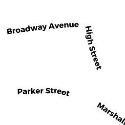
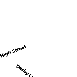
35 HIGH ST
Owner Information
GATES JOHN TRS
35 HIGH ST
ROCKPORT, MA 1966


Property Details
35 HIGH ST is classified as a Single Family Residential (Conventional).
The primary structure on this property was built in 1800. There are 2,902ft2 of built area within this property. There is 1,759ft2 of residential/living space within this property. This property is listed as having 7 rooms.
35 HIGH ST is valued at $556,900. The land is valued at $281,200 and the structures are valued at $259,000. There is an additional valuation of $16,700 on this property.
This property is in Zone R3. Confirm with local Zoning Board authorities to ensure there are no overlays or other easements on this property.
The most recent deed for 35 HIGH ST is recorded at the local registrar in Book 35493, Page 100. 35 HIGH ST was last sold on Friday, December 2, 2016 for $100.
Assessment data from fiscal year 2021.
Flood Data
According to the FEMA National Flood Hazard Layer, this property does not appear to be in a flood zone. It may also be in an area not yet reviewed. Nonetheless, confirm this information prior to taking any action.
To view the flood hazards around this property, create a FEMA "Firmette" Map of the area around 35 HIGH ST.
Broadband Internet Providers
| Provider | Type | Bandwidth (mbps) | |
|---|---|---|---|
| Verizon New England Inc. | DSL | 15 | 1 |
| VSAT Systems, LLC. | Satellite | 2 | 1 |
| HughesNet | Satellite | 25 | 3 |
| GCI Communication Corp. | Satellite | 0 | 0 |
| Comcast | Cable | 1000 | 35 |
| Viasat Inc | Satellite | 100 | 3 |
Broadband service provider data from December 2020.
Adjacent Properties
- 37 HIGH ST
Single Family Residential owned by HALLOWELL LAURA WICK TRS - 33 HIGH ST
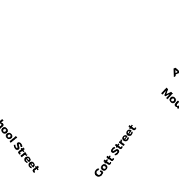
Multiple Houses on one parcel owned by KAPLAN JEFFREY - 40C SCHOOL ST
Two-Family Residential owned by KETCHOPULOS MICHAEL - 3 MARSHALL LN
Single Family Residential owned by WHITTAKER, JOHN B. - 5 MARSHALL LN
Single Family Residential owned by PARILLO BARBARA S - SCHOOL ST
Developable Residential Land owned by KETCHOPULOS JAMES G - 46 & 46R SCHOOL ST
Multiple Houses on one parcel owned by RATHBUN DONALD E